What Is the Susquehanna River? A Complete Guide to History, Geography, and Recreation
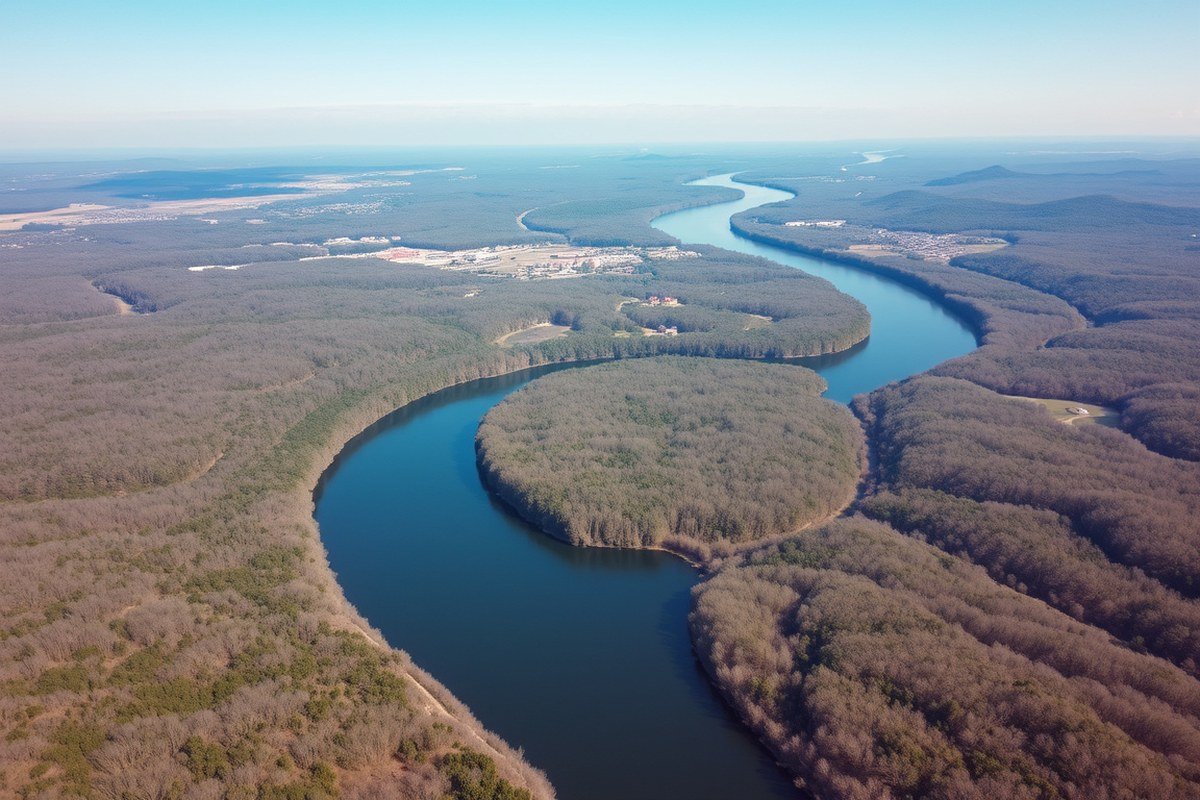
The Susquehanna River runs roughly 440 miles through the northeastern United States, beginning at Otsego Lake in New York, flowing through Pennsylvania, and emptying into the Chesapeake Bay in Maryland. It holds the title as the longest river on the East Coast and plays a significant role in shaping the area’s landscape, ecosystem, and outdoor opportunities. This article outlines the river’s branches, nearby towns, natural landmarks, and recreational locations.
This information suits students, travelers, and anyone interested in geography or environmental education. You will gain a clear picture of the river’s flow, historical importance, wildlife habitats, and how local communities interact with this essential river system.
Key Takeaways
- The Susquehanna River flows approximately 444 miles from New York to Maryland before reaching the Chesapeake Bay.
- The river includes distinct branches: North, West, Middle, and Lower, each with unique geographical features and recreation spots.
- The Middle Susquehanna, running 50 miles from Sunbury to Harrisburg, features many river islands with public campsites for multi-day paddling trips.
- The Lower Susquehanna is formed where the West Branch connects with the main river. From there, it flows for 103 miles until reaching the Chesapeake Bay.
- More than 2.5 million people live within the Susquehanna River Watershed, influencing and depending on the river.
- The river contributes significant freshwater and nutrients to the Chesapeake Bay, affecting its water quality and ecosystem.
What Is the Susquehanna River and Where Does It Flow?
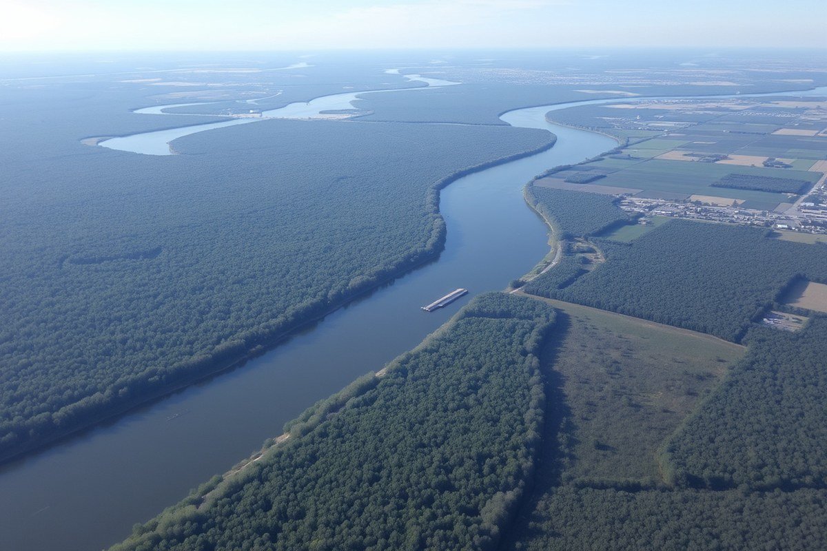
The Susquehanna River is a major waterway in the northeastern United States, stretching about 444 miles (714 kilometers) from its source at Otsego Lake in Cooperstown, New York, to its end point at the Chesapeake Bay in Maryland. It ranks as the longest river on the East Coast and one of the longest rivers in the country. The river flows through three states: New York, Pennsylvania, and Maryland.
Starting at Otsego Lake, located at an elevation of around 1,200 feet in Otsego County, New York, the river travels southward. In its journey, it passes through various landscapes and communities, including Binghamton in New York and several Pennsylvania towns. The river’s course divides into several branches, but the main channel meets with the West Branch at Sunbury, Pennsylvania. From this confluence, the Lower Susquehanna flows approximately 103 miles farther before reaching the Chesapeake Bay.
Because it drains a large watershed area of nearly 18,295 square miles, the Susquehanna plays an essential role in the region’s ecology, economy, and culture. Its length, crossing diverse terrains and urban centers, makes it important for drinking water, hydroelectric power, and recreation. The river’s shallow depth in many places supports various uses but also requires careful navigation and conservation.
Traveler access points and natural attractions along the river offer opportunities for recreational activities such as paddling, fishing, and camping. The blend of rural and urban environments along its path reveals the river’s importance not only as a natural feature but also as a connector between communities in these three states.
How Are the North, West, Middle, and Lower Branches Different?
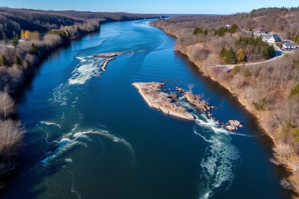
The Susquehanna River is divided into four main sections: the North Branch, West Branch, Middle Section, and Lower Section. These sections differ in length, geography, physical characteristics, and recreational opportunities, making each unique for travelers and outdoor enthusiasts. Understanding these differences helps you plan activities such as kayaking, fishing, or wildlife observation according to the conditions and environment of each branch.
North Branch Characteristics and Length
The North Branch, often called the Main Branch, originates at Otsego Lake in Cooperstown, New York. It flows roughly 300 miles south into Pennsylvania before merging with the West Branch near Northumberland. This section features clear, cold mountain streams fed by past-glaciated highlands, contributing to its relatively pristine waters that support diverse wildlife.
The North Branch passes through a mix of rural landscapes and small towns, maintaining a more natural and less developed environment than the lower sections. Recreationally, it’s popular for fishing trout and enjoying tranquil paddling spots. Its length and cold-water sources make it critical for headwater protection and regional water quality.
West Branch Geography and Recreation
The West Branch Susquehanna River starts in Cambria County, Pennsylvania, and stretches about 240 miles before joining the North Branch. It drains a basin that is nearly double the size of the Lower Susquehanna region, covering roughly 18,295 square miles. This branch is known for its hilly terrain and rapid currents, offering more dynamic experiences for paddlers seeking challenging navigation.
Recreation on the West Branch is well-developed, with the Susquehanna Greenway Partnership managing the entire branch water trail. Kayaking, canoeing, and fishing are popular activities, especially near tributaries like Pine Creek at Jersey Shore, Pennsylvania. The water here is warmer than the North Branch but can still be fresh and clear. Because of its current and shoals, paddling upstream requires significant effort and skill.
Middle and Lower Sections Features
The Middle Section of the Susquehanna connects the confluence area north of Sunbury, Pennsylvania, to points further downstream. This section serves as a transition zone where water quality and flow reflect inputs from both branches and multiple tributaries such as the Juniata and Lackawanna Rivers. The environment features mixed land use with urban, agricultural, and forested areas.
The Lower Section extends from Sunbury to the river’s mouth near the Chesapeake Bay in Maryland, covering about 9,215 square miles of basin area. This part of the river tends to be wider and slower-moving, supporting more commercial and recreational boating activities. It includes more developed towns and cities. The Lower Section is managed in part by the Susquehanna National Heritage Area and has a National Recreation Trail designation, which fosters recreational access and conservation efforts along the river.
Plan your paddling route based on the branch’s characteristics: the North Branch for calm, cold water; the West Branch for faster currents and more challenges; and the Lower Sections for broader navigable stretches with more amenities.
Which Towns and Cities Are Along the Susquehanna River?
The Susquehanna River passes through many towns and cities that are closely tied to it geographically and economically. Communities along its 444-mile route from Otsego Lake in New York to Havre de Grace in Maryland rely on the river for commerce, recreation, and local culture. These towns vary from small rural settlements to larger urban centers that use the river for shipping, leisure, and natural resources.
New York Communities from Source to Border
The Susquehanna River starts at Otsego Lake near Cooperstown, New York, a town known for its historical links to the river and as the source location. The river flows southward through rolling meadows, forests, and farmland, passing by communities such as Oneonta and Binghamton. Binghamton is the largest city in New York along the river, where it has historically supported commerce and local recreation. The North Branch in this region is 181 miles long and features sites connected to the early canal systems, emphasizing the river’s importance in historic shipping routes.
As the river continues south, small towns like Susquehanna and Great Bend mark key points before the border with Pennsylvania. These areas still reflect the rural character of the upper river valley and offer opportunities for fishing, boating, and exploring local history tied to the river’s natural landscape.
Pennsylvania Towns Along the River’s Branches
In Pennsylvania, the Susquehanna River shapes a vibrant corridor of towns and cities across its branches. Harrisburg, the state capital, lies on the lower Susquehanna and is the largest city along the lower part of the river. The river flows southeast here and forms county boundaries, impacting local economies, transport, and recreation opportunities. Harrisburg uses the river as a key water trail, supporting boating and fishing activities that attract both residents and tourists.
Upstream, cities such as Wilkes-Barre, Pittston, and Williamsport have historic ties to the river through coal transportation and trade. These cities grew rapidly during the 19th-century canal boom, when anthracite coal was shipped downstream to Atlantic ports. The Pennsylvania stretch of the river also includes smaller towns nestled in the Susquehanna Valley, like Shickshinny and Sunbury, which have maintained strong community connections to the river as they balance industrial heritage with environmental efforts and river recreation.
Maryland Towns Near the River’s Mouth
As the Susquehanna River enters Maryland, it flows into the Chesapeake Bay at the town of Havre de Grace. This town is significant as the river’s mouth and is known for its scenic waterfront, fishing industry, and a variety of recreational activities on the river and bay. Havre de Grace also showcases visible remnants of 19th-century canal systems along US Route 15, highlighting the river’s role in regional commerce and transportation history.
The communities near the river’s mouth benefit from tourism, boating, and water sports because the area combines the freshwater influence of the Susquehanna with the tidal effects of Chesapeake Bay. The town’s location makes it a hub where economic activities rely on the river for fisheries and hospitality services, improving the local economy with both commercial and leisure use of the waterway.
What Is the Historical and Cultural Importance of the River?
The Susquehanna River has been a important waterway for thousands of years, shaping the lives of native peoples, colonial settlers, and modern communities. It served as a resource for sustenance, a transportation route, and a strategic corridor in wars. Understanding its historical and cultural importance involves exploring how the river supported Native American life, colonial expansion, and industrial growth.
Native American Era and Early Exploration
More than ten thousand years ago, Native American groups first settled along the Susquehanna River, drawn by its abundant fish and fertile lands. These communities primarily spoke Algonquian or Iroquoian languages and used the river for fishing, transport, and as a spiritual resource. Evidence of early Native American presence includes petroglyphs etched into boulders within the river, showing a deep cultural connection to this landscape.
European explorers, including Captain John Smith in the early 1600s, documented the area and recorded early versions of the river’s name. Native peoples had established complex networks of trade, communication, and land use by this time, long before European colonists arrived. Over subsequent centuries, Native Americans were pushed from their land through treaties and conflicts, yet their legacy remains an integral part of the river’s history.
Colonial Settlement and Revolutionary War Impact
European settlers began establishing colonies along the Susquehanna in the 18th century, using the river as a major route for travel and trade. The fertile valleys supported farming communities, and the river itself became a key artery connecting interior settlements to larger colonial markets. Through trade and negotiation, Europeans gradually expanded control over the region, displacing Native Americans and reshaping the landscape.
The Susquehanna played a strategic role during the American Revolutionary War (1775, 1783). Control of the river meant access to supplies and troop movements, influencing battles and campaigns. Later, the river witnessed other military actions and contributed to the United States’ growth by linking frontier regions to established cities.
19th and 20th Century Transportation and Industry
In the 19th century, the river’s role expanded beyond sustenance and war to support widespread industrial and commercial development. Towns grew along its banks as canals and railroads connected the Susquehanna to coal mines, mills, and factories. The river’s water powered mills and cooled machinery, while serving as a shipping route for raw materials and finished goods.
By the mid-1800s, an extensive network of canals on the Susquehanna facilitated transport in an era before widespread railroads. This infrastructure underpinned the region’s industrial boom, transforming the river corridor into one of the nation’s busiest economic zones. In the 20th century, industrial use declined, but the river still supports local economies and recreation. Today, the Susquehanna continues to reflect the complex history of commerce, industry, and cultural change along its length.
Which Wildlife and Ecological Features Define the Susquehanna?
The Susquehanna River supports a diverse range of native fish species that are important for both ecological balance and recreational fishing. Notable fish include American shad, smallmouth bass, and catfish, which thrive in different sections of the river. These species attract many boaters and anglers during migration seasons and support local economies through guided fishing tours, including popular full-moon floats and weekday evening events. Maintaining healthy fish populations requires attention to water quality and habitat conservation, as pollution and habitat disruption can reduce spawning success and overall fish health.
The river passes through multiple ecological zones, starting in mountainous areas flowing through forests, wetlands, and agricultural lands before reaching the wide floodplains near the Chesapeake Bay. Along the Lower Susquehanna, unique habitats like the Conejohela Flats create internationally significant birdwatching sites. These wetlands and riverine environments support various bird species, including migratory waterfowl, bald eagles, and osprey. Protecting these habitats is important because they provide nesting grounds, feeding areas, and stopover points for birds during long migrations.
Environmental challenges currently facing the Susquehanna include pollution from agricultural runoff, industrial waste, and urban stormwater. Excess nutrients cause algal blooms that reduce oxygen levels, harming fish and other aquatic life. Sediment from erosion alters habitats and affects water clarity. Efforts such as establishing riparian buffers, restoring wetlands, and improving waste treatment help mitigate these issues but require long-term commitment and funding from local and state agencies. Public access and awareness programs encourage stewardship and responsible use of river resources, helping slow environmental degradation.
When paddling or fishing on the Susquehanna, check local water quality reports before heading out, especially after heavy rain, to avoid areas with high pollution or unsafe bacteria levels.
How Can You Safely Enjoy Recreation on the Susquehanna River?
The Susquehanna River offers a wide range of recreational activities like fishing, kayaking, boating, and swimming. Its large size and scenic surroundings make it a popular spot for outdoor enthusiasts looking to explore the water and nearby nature. Safe enjoyment depends on understanding water conditions and knowing where to access the river.
Kayaking and paddling are especially popular on the Susquehanna River, which features over 30 designated access points. These entry spots provide convenient places to launch small boats or kayaks. The Susquehanna River Water Trail system divides the river into four sections, each managed by a different nonprofit organization. Each section has waterproof maps and guides that help you plan your route and show the safest passages. Using these maps will also help you find the nearest put-in and take-out locations.
Swimming is possible in calmer sections of the river, but water safety is key. The river’s current varies depending on location and weather, so you should avoid swimming near fast-flowing or industrial areas. Water temperatures range seasonally, often reaching safe swimming levels during summer months when the river can warm above 70°F. Always check local advisories for water quality and possible hazards before entering the river.
Boating enthusiasts can enjoy both motor and non-motorized boats, but the wide river requires skill and attention to safety regulations. Wearing life jackets and having communication devices is recommended. Boat rental services may be available near popular access points, but costs can vary widely depending on the type of boat and rental length.
- Check local conditions and water levels before planning your trip.
- Use official Susquehanna River Water Trail maps and guides for navigation.
- Wear a life jacket while paddling or boating.
- Avoid swimming in strong currents or near boat traffic areas.
- Use designated access points for safe entry and exit.
- Confirm water quality with local agencies to avoid health risks.
- Bring safety gear, including a whistle, for emergency situations.
Access points are well distributed along the river, usually near towns and parks. Major cities like Harrisburg provide easy river access with nearby parking and facilities. Smaller towns along the river also offer boat launches and fishing piers. Planning your trip ahead by consulting local resources and the water trail guides ensures you save time and stay safe.
What Are the Major Environmental and Flood Challenges?
The Susquehanna River Basin has faced significant flooding challenges over the years. One major event occurred in 2006 when a stalled jet stream-driven storm caused extensive flooding in parts of the basin. Flood damages in the basin average about $150 million annually, reflecting the ongoing risk to communities and infrastructure along the river. These floods often lead to property damage, disruptions to transportation, and threats to public safety, especially in low-lying towns.
The Susquehanna River and the Chesapeake Bay it feeds remain at risk from pollution. In 2003, the river accounted for about half of the freshwater entering the bay, contributing nearly 44% of nitrogen, 21% of phosphorus, and 21% of sediment. The majority of the excess nitrogen and phosphorus come from agricultural runoff, sewage discharge, and urban stormwater. These nutrients promote harmful algae blooms and create oxygen-depleted zones downstream, damaging fish populations and aquatic habitats. Erosion adds sediment that clouds the river, settles on the bottom, and adversely affects wildlife and water conditions.
Human activity, particularly dams, impacts the Susquehanna’s flow and ecosystem. The Conowingo Dam has attracted attention because it traps sediment upstream but threatens to pass large sediment loads downstream when it reaches its capacity. This releases older sediments that have accumulated over decades, potentially worsening pollution and harming the Chesapeake Bay. The dam also alters natural fish migration patterns, changing habitat availability. Maintenance and operation of dams require careful monitoring and coordination to balance flood control, hydropower, and ecological needs.
Conservation efforts focus on reducing pollution, controlling sediment, and managing flood risks. Strategies include better farming practices to reduce nutrient runoff, upgrading wastewater treatment plants, and restoring wetlands that absorb floodwaters and filter pollutants naturally. Organizations like the Susquehanna River Basin Commission work with local governments and communities to implement these solutions. Effective conservation takes time and resources; for instance, farm buffer zones may require decades of maintenance to significantly improve water quality. Success looks like clearer water, healthier fish populations, and fewer costly floods harming towns along the river.
How Does the Susquehanna River Connect to the Chesapeake Bay and Its Watershed?
The Susquehanna River plays a major role in the health of the Chesapeake Bay by supplying about half of the fresh water entering the bay. Its watershed covers roughly 27,500 square miles across New York, Pennsylvania, and Maryland, making it one of the largest river basins on the East Coast. This extensive drainage area means that rainfall, runoff, and pollution from a large region all eventually flow through the Susquehanna into the bay. Because of this, how the river and its watershed are managed directly impacts the water quality, ecosystem balance, and overall environmental health of the Chesapeake Bay.
Fresh water from the Susquehanna helps maintain the bay’s brackish environment but can also cause challenges when excessive nutrients, like nitrogen and phosphorus, enter the water. These nutrients often come from agricultural runoff, urban stormwater, and wastewater discharges within the watershed. They can fuel algal blooms that deplete oxygen, harm fish and shellfish, and reduce biodiversity. Managing the Susquehanna’s watershed involves coordinating land use practices, improving wastewater treatment, and restoring natural habitats to reduce stormwater runoff and nutrient loads.
Federal, state, and local agencies collaborate through watershed management programs that monitor water quality, promote best farming practices, and invest in green infrastructure. For example, planting riparian buffers, strips of vegetation along riverbanks, can filter runoff and stabilize soil. These efforts often require funding from government grants or environmental organizations and depend on cooperation among diverse stakeholders, including farmers, municipal planners, and conservation groups. Success is measured by improvements in water clarity, lower nutrient concentrations, and healthier aquatic life indicators.
Since the Susquehanna flows through various landscapes, from forested mountains to urban areas, management approaches vary in different sections. Forested regions naturally filter water better, while urban areas face greater challenges controlling stormwater pollution. Addressing nonpoint source pollution remains a key focus. Local communities investing in stormwater retention ponds, green roofs, and improved sewage systems help reduce harmful runoff into the river and downstream bay.
Check local guidelines before engaging in river or bay activities, as water quality can vary seasonally and with rainfall, affecting fish safety and recreation quality.
Step-by-Step Action Plan to Explore the Susquehanna River
Follow this plan to deepen your understanding and safely enjoy the Susquehanna River’s natural and cultural richness.
- Day 1: Identify your location along the Susquehanna, noting whether you’re near the North, West, Middle, or Lower branches for tailored exploration.
- Day 2: Research key towns and cities nearby to discover historical sites and cultural highlights connected to the river.
- Week 1: Learn about common local wildlife and ecological features to recognize species and habitats during your visits.
- Week 2: Plan a recreation activity such as kayaking or hiking along safe stretches of the river, checking for advisories and conditions first.
- Week 3: Review environmental challenges like flood zones and pollution concerns; note local conservation efforts to support.
- Week 4: Explore how the river links to the Chesapeake Bay watershed and consider how this connection affects both ecosystems.
- After 1 month: Reflect on your experiences and knowledge, and consider joining a local river clean-up or educational program to stay involved.
Frequently Asked Questions
What Is the Susquehanna River?
Stretching 440 miles from Cooperstown, New York, to the Chesapeake Bay in Maryland, the Susquehanna River ranks as the longest river on the U.S. East Coast. This river has played significant roles in history, supports diverse ecosystems, and offers numerous recreational opportunities.
What Is Special About the Susquehanna River?
The river is recognized as Pennsylvania’s largest water trail system, with over 500 miles for paddling and recreation. It also has a rich history and diverse ecosystems supporting many wildlife species.
Is It Okay to Swim in the Susquehanna River?
Swimming is possible in parts of the river but water quality and currents vary, so check local advisories and swim only in designated safe areas. Always follow safety guidelines when enjoying the water.
How Deep Is the Deepest Part of the Susquehanna River?
The Susquehanna River is generally shallow, but certain sections can reach significant depths, especially near dams and reservoirs. Exact depth varies by location and season.
What Towns Does the Susquehanna River Run Through?
The river flows through many towns including Cooperstown, Sunbury, and Harrisburg in Pennsylvania, and continues through parts of New York and Maryland before reaching the Chesapeake Bay.
What Is the Susquehanna River Water Trail?
It is a signed route along more than 500 miles of the river, popular for kayaking and canoeing, offering scenic views and access to campsites and wildlife.
Wrapping Up
The Susquehanna River offers layers of ecological, historical, and recreational significance that you can explore with attention and care. Taking time to understand its branches, wildlife, and challenges adds meaning to each visit. Start by choosing a nearby stretch to explore, paying close attention to local safety and environmental guidelines for a richer experience.